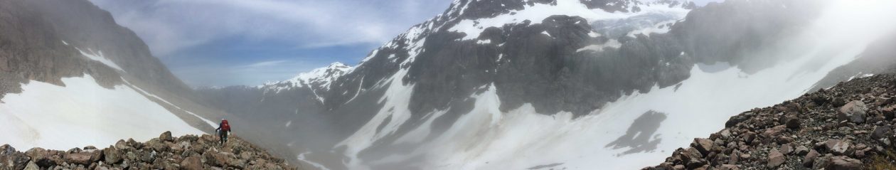

 Day 2 started cold and misty, so misty that we delayed our departure from the “Schlink Hilton” in the hope that the wind, the sun, or maybe both would deal to the mist and give us some view of the terrain ahead of us.
By 9am we were underway and although the mist was dissipating it was far from a clear start as we made our way up the ridge line to the north east of the hut.
(For those wondering about Day 1, it was best forgotten! A hard and unrewarding uphill road bash / slog in torrential rain [well that’s how I remember it] from the car park at Guthega Dam, Not quite what I’d hoped for as my first day carrying a heavy pack for quite some time .
 I wanted to use this 6 day walk in the Snowy Mountains as a means to assess my fitness for the up coming Heard Island trip. The 25 kilo’s (approx.) on my back was making sure I knew exactly where all the pressure points from my pack harness were and exactly how strong (or not) my legs were feeling.
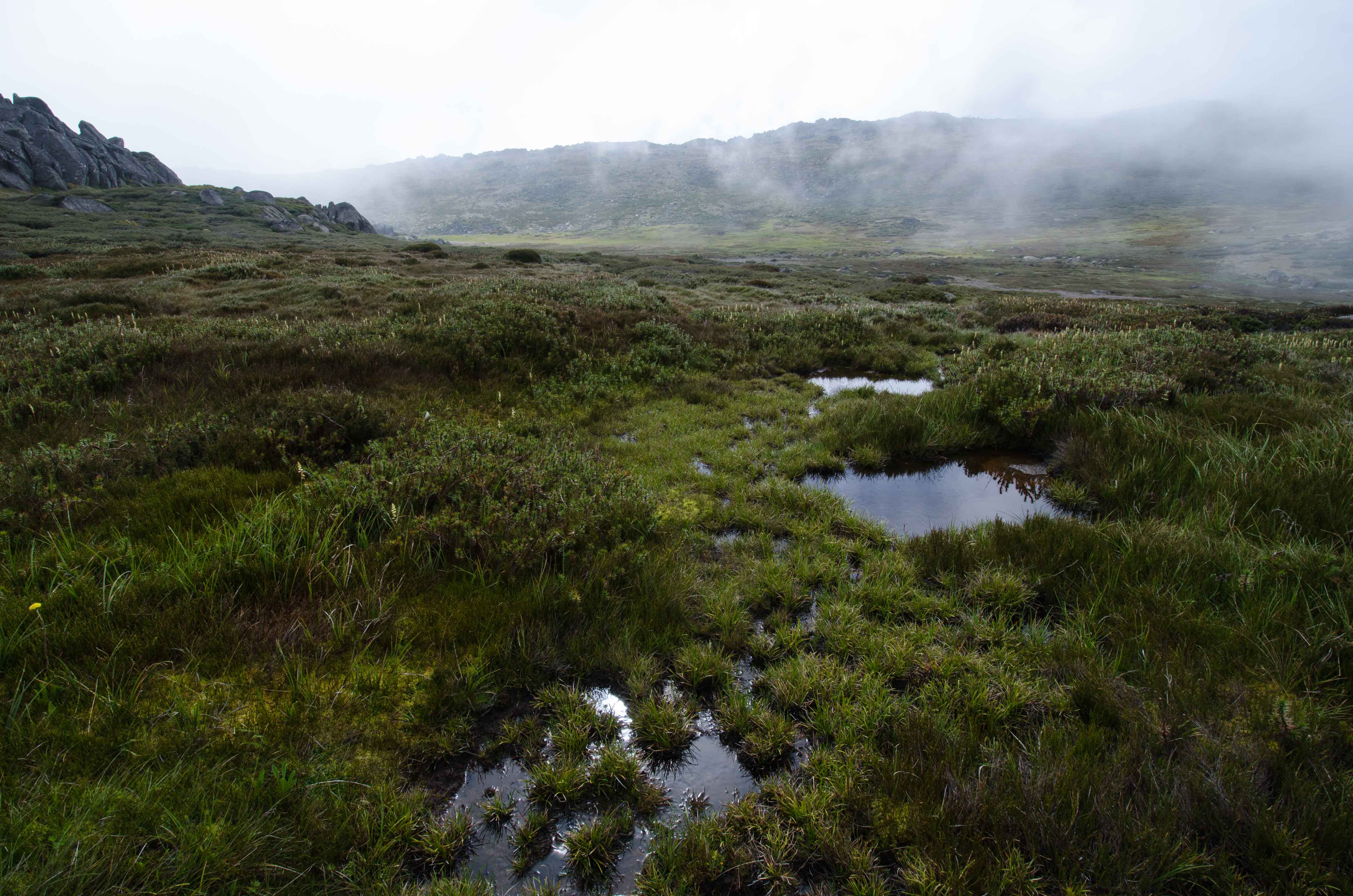
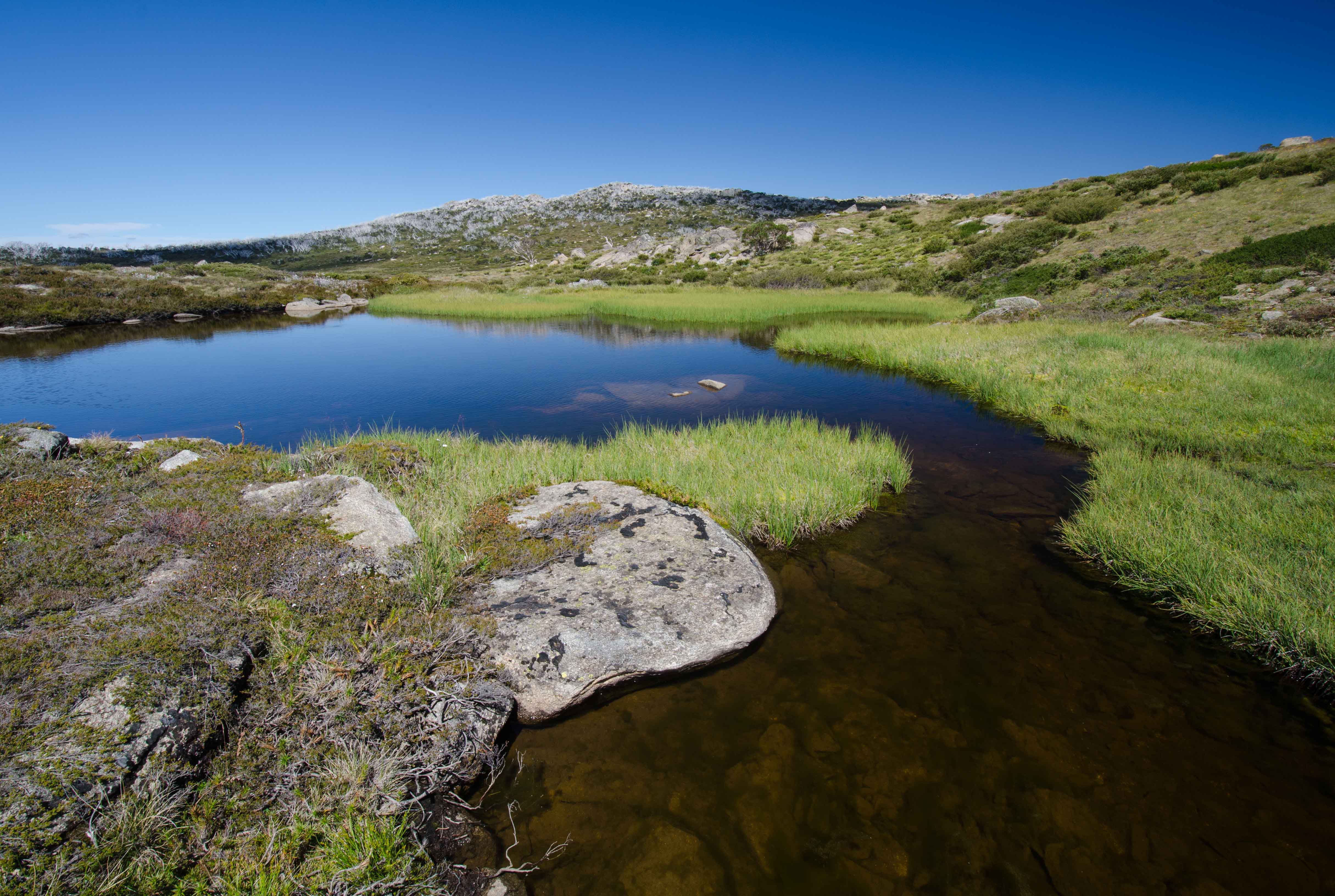
As so for day 2 those pressure points were still obvious, but slightly dulled from the day before. The day’s objective was to drop in at Mawson’s hut, descend down to the Valentine Creek at Big Bend and then finish the day approx. 1 kilometre to the north of the Geehi river with a view, north to Mt Jugungal and south to Cup & Saucer and Mailbox hills. By mid afternoon we were at the camp site and kicking back for an easy afternoon.
Mt Jungunal could be seen on the sky line to the north west, it looked distant but in reality it was only 3km away.
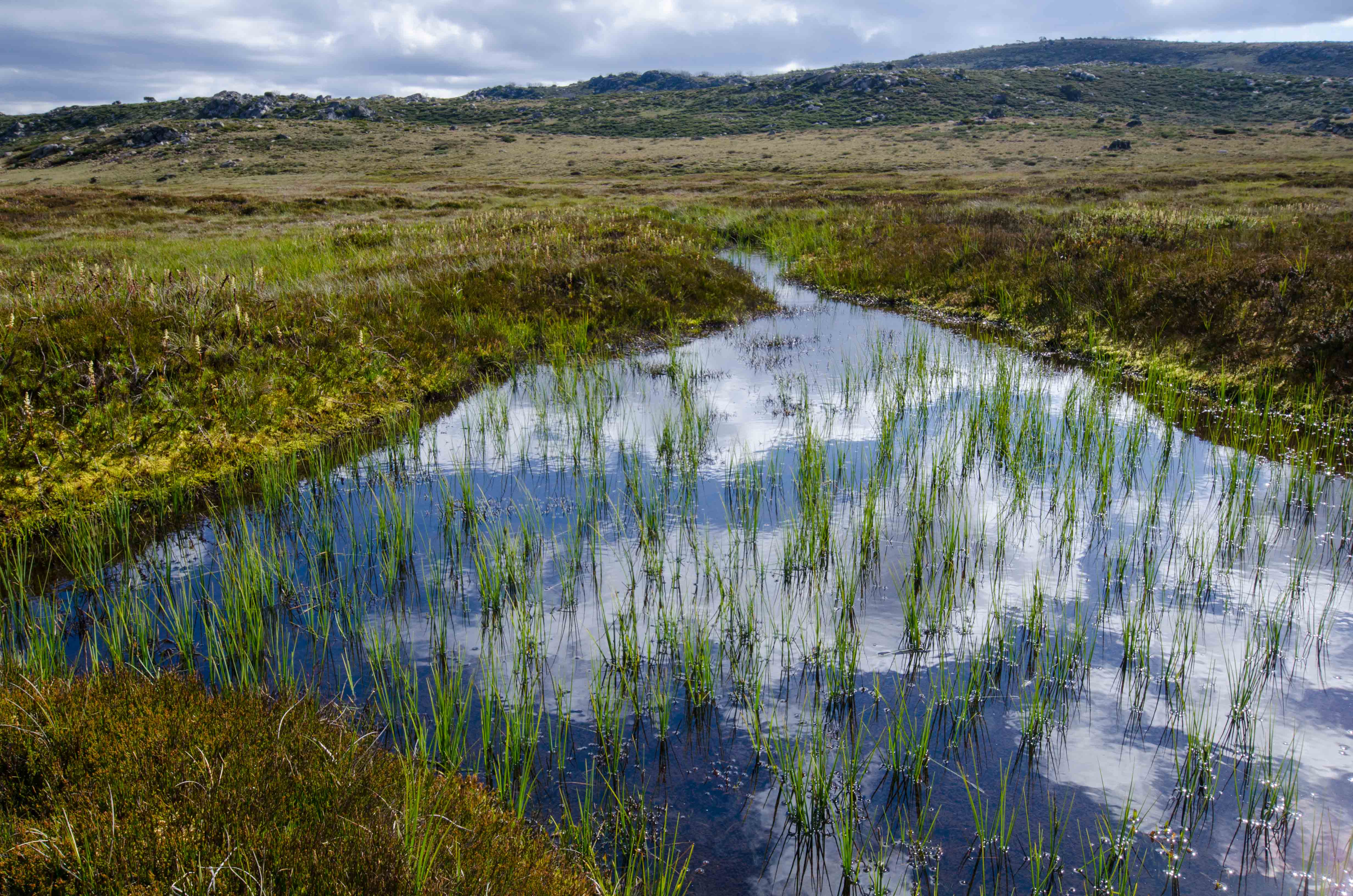
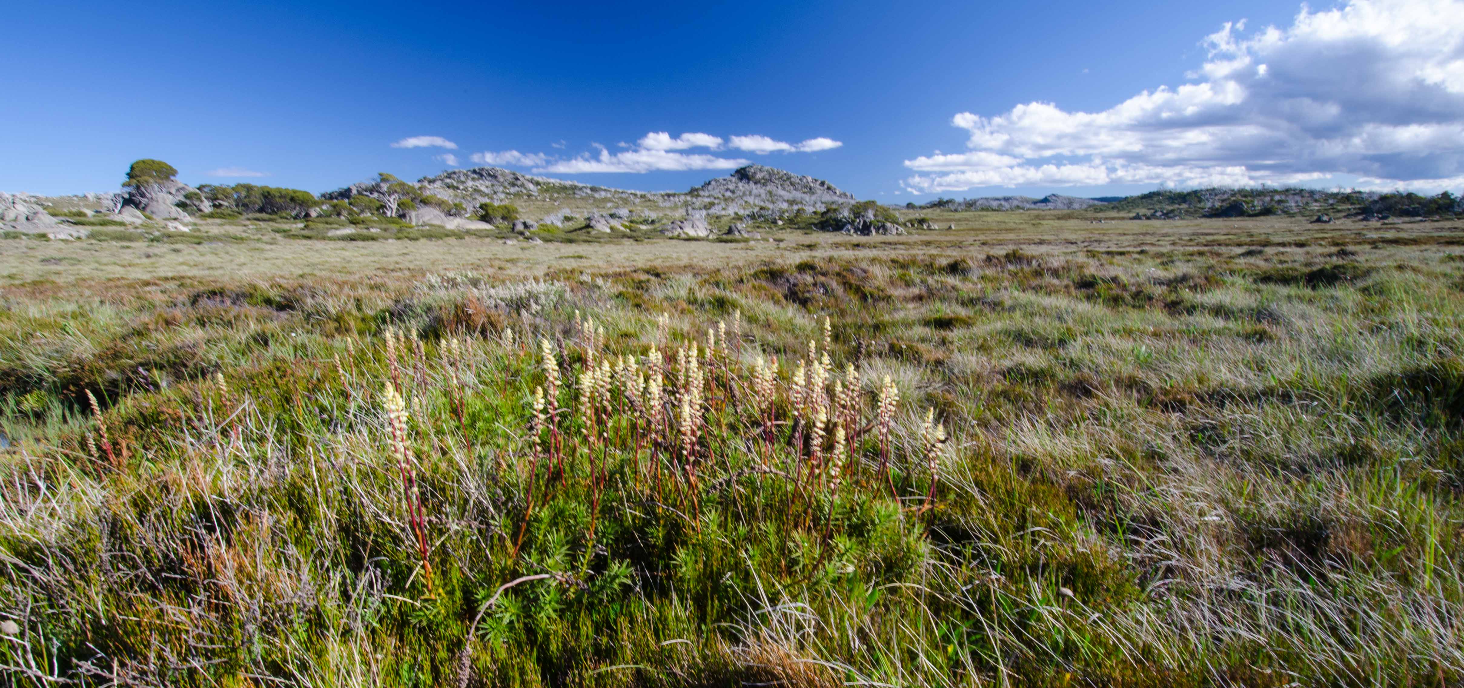
An early (8.15am) start on day 3 had us heading to the top of Mt Jugungal, Our packs were light and the height to the summit gained relatively painlessly. and then by midday we were back in camp, packing down tents, reloading packs and preparing for the short trek through to Tarn Bluff where we would camp overnight. Our walk back to Tarn Bluff was a comparatively short 4 km’s and the terrain was magic. Rolling alpine meadow is the best way to describe it. By mid afternoon we were at camp and tents pitched for the night stay.
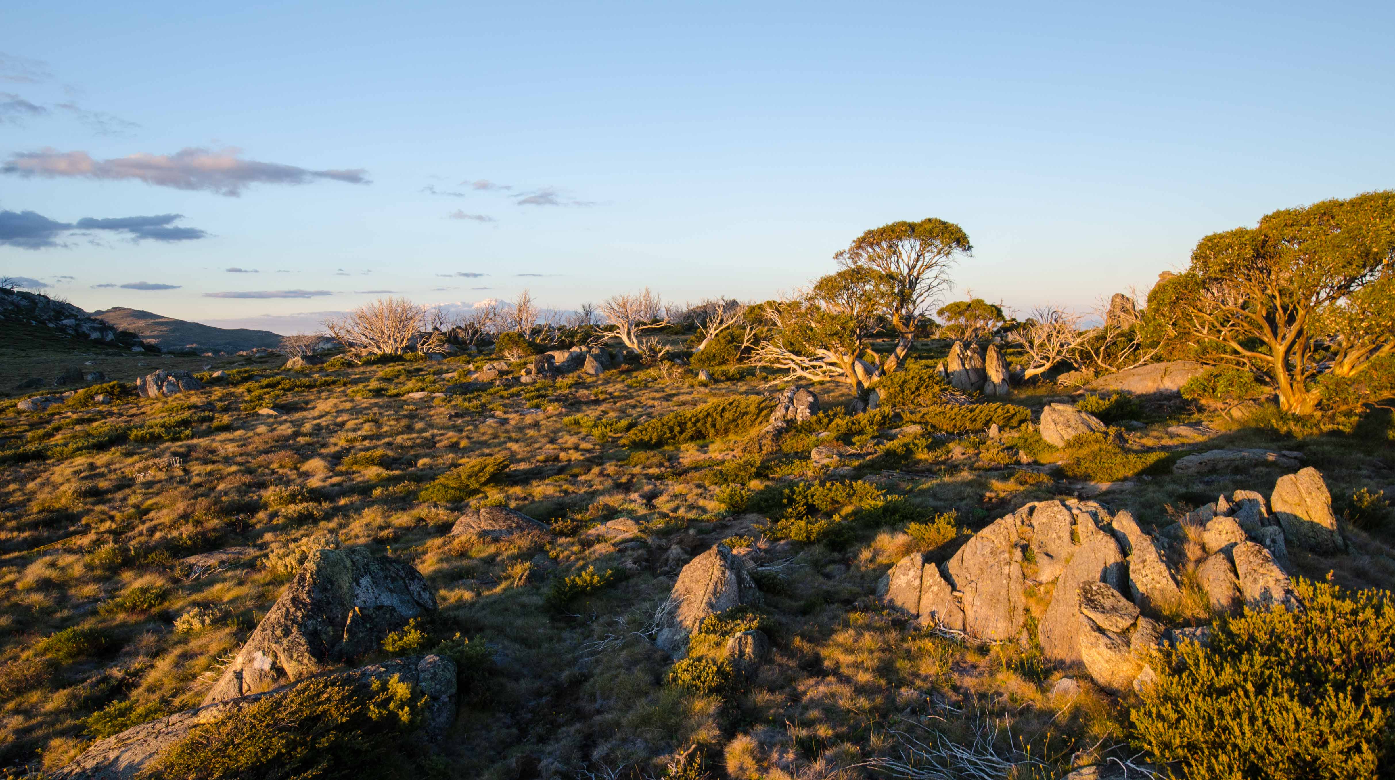
Tarn bluff provided us a camp site with a reliable water supply and a great view at the close of the day as the sun set and the colours of the grasses and sky were continually changing.
 Day 4, and immediately on leaving camp we were heading higher, nothing excessive mind you but enough to get the heart pumping. We were on our way to Tin Hut located approximately 9-10km’s to the south. It was great walk. Once again we crossed
  Valentine Creek at Big Bend but this time we stayed down near the creek for the most part, only climbing when it really was necessary to avoid the swampy ground that reached out to the spurs that ran down from Kerris Ridge. The distance passed quite quickly, and it was just after midday as we arrived at Tin Hut where we made out next camp. The early arrival provided us time to set up camp and then later in the afternoon make a dash out to Big Brassy Peak and back before sunset.
An awesome sun rise gree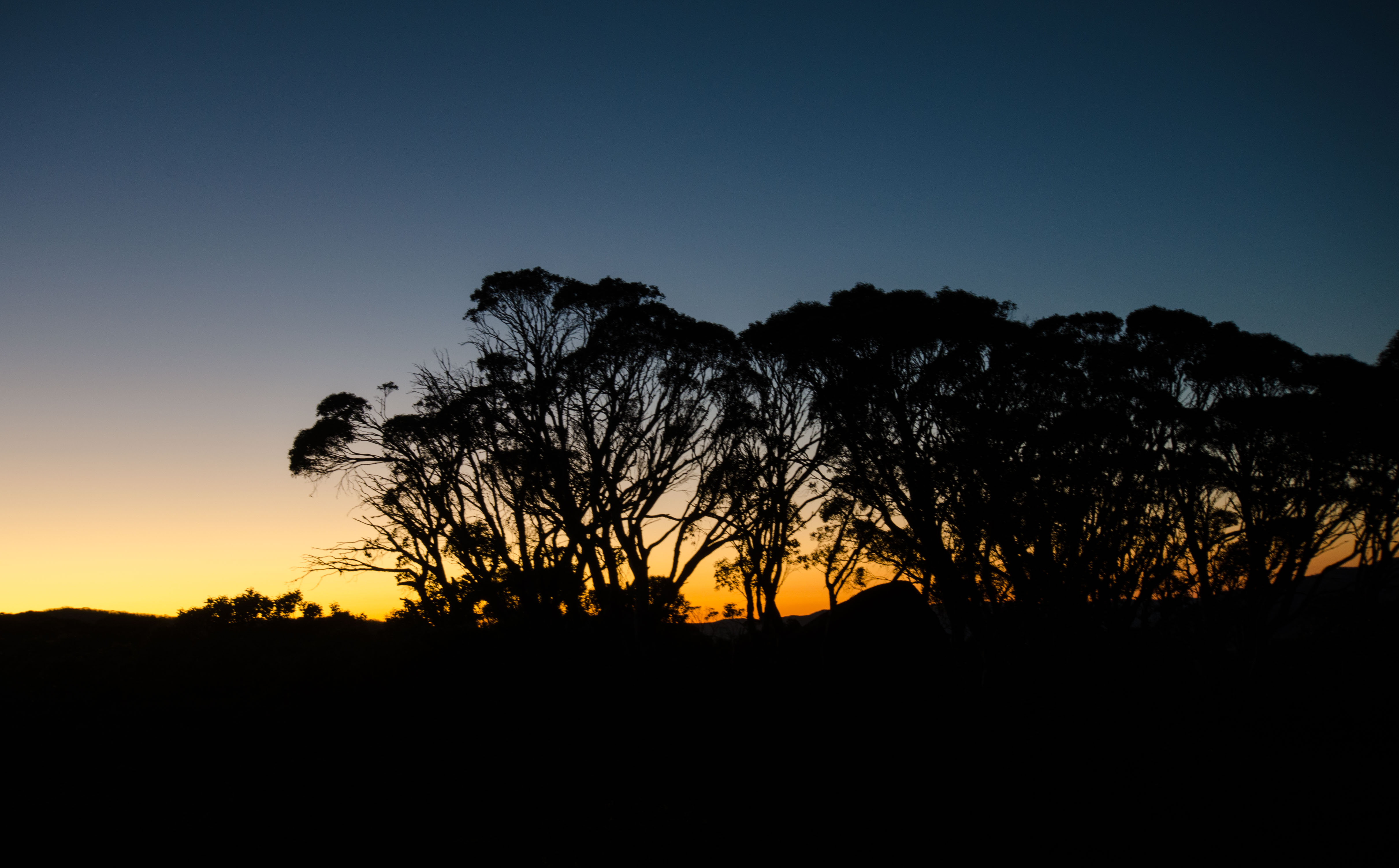 ted me on day 5! Mind you I had to make an early start to see it – 5:10am and the horizon was on fire with a bright glow through the gum trees. I sat out on the large rock near the camp site and watched this sunrise for 30 minutes and then it was into the usual routine of heating water, breakfast, COFFEE and pack down my tent so as to make the day starting line at 8:00am. Today the aim was to head south, past the Schlink Hilton hut and through to a camp site approx. a kilometre north of the Granite Peaks. It was one of the hottest days
 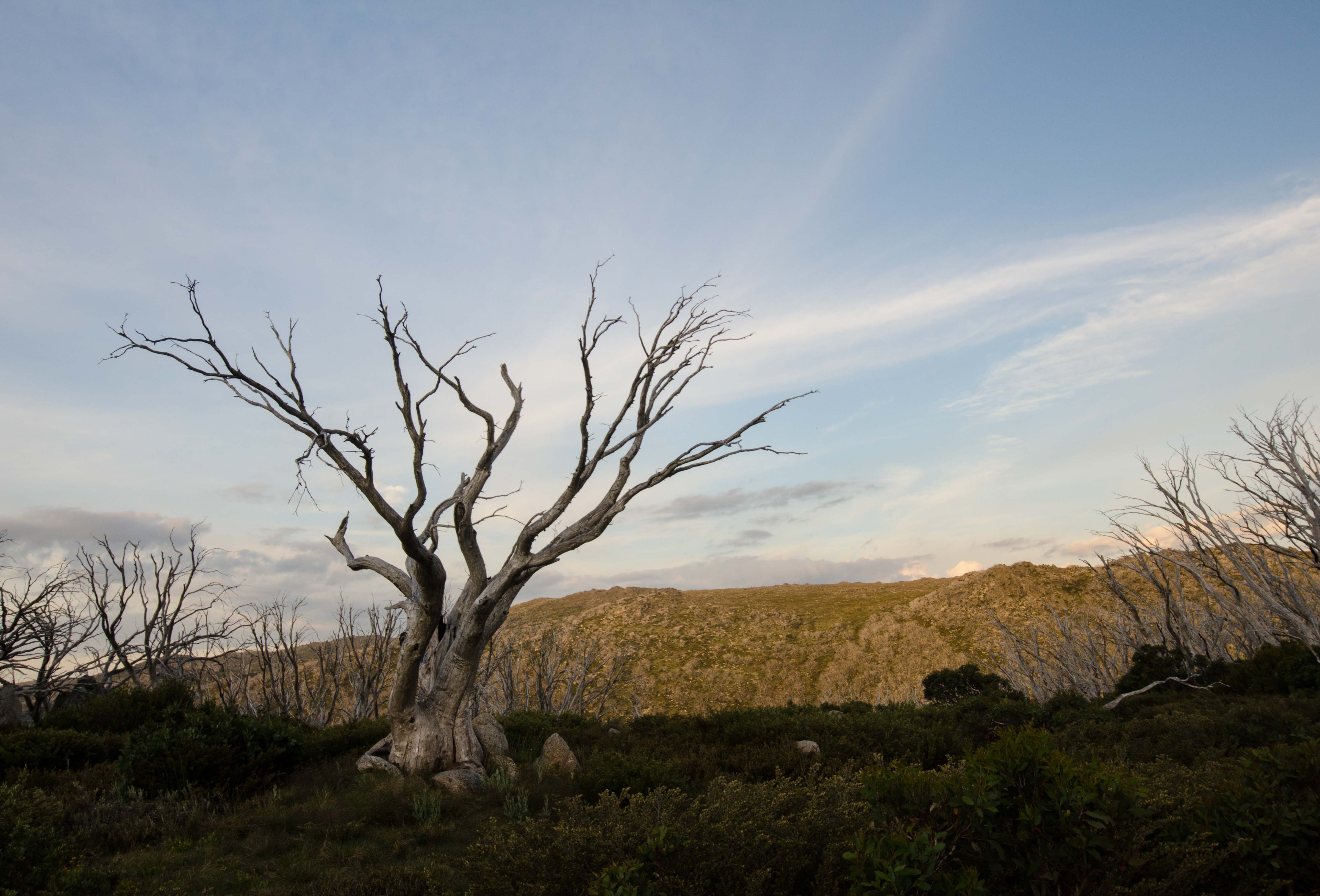 of the trip and the final push up to 1900 metres was a hard one. This camp site had 2 distinct disadvantages – flys and ants. Where-ever you sat you seemed to be overcome by both. It didn’t take to much encouragement to get me moving on the next morning toward Guthega trig. This was a small hop – 6 km’s so a side trip up to Mt Tate was added in to make sure we didn’t feel shortchanged on the day!
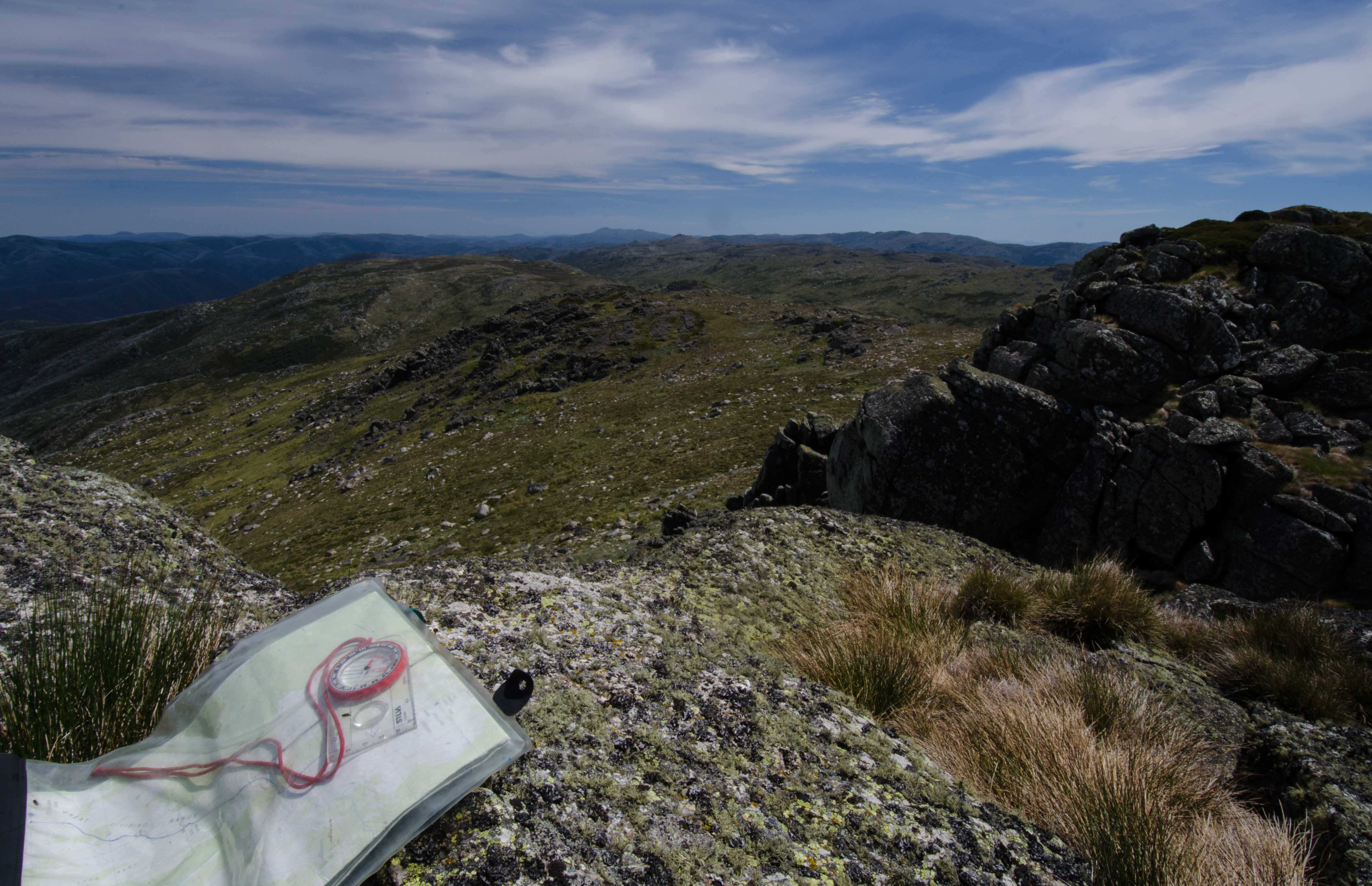
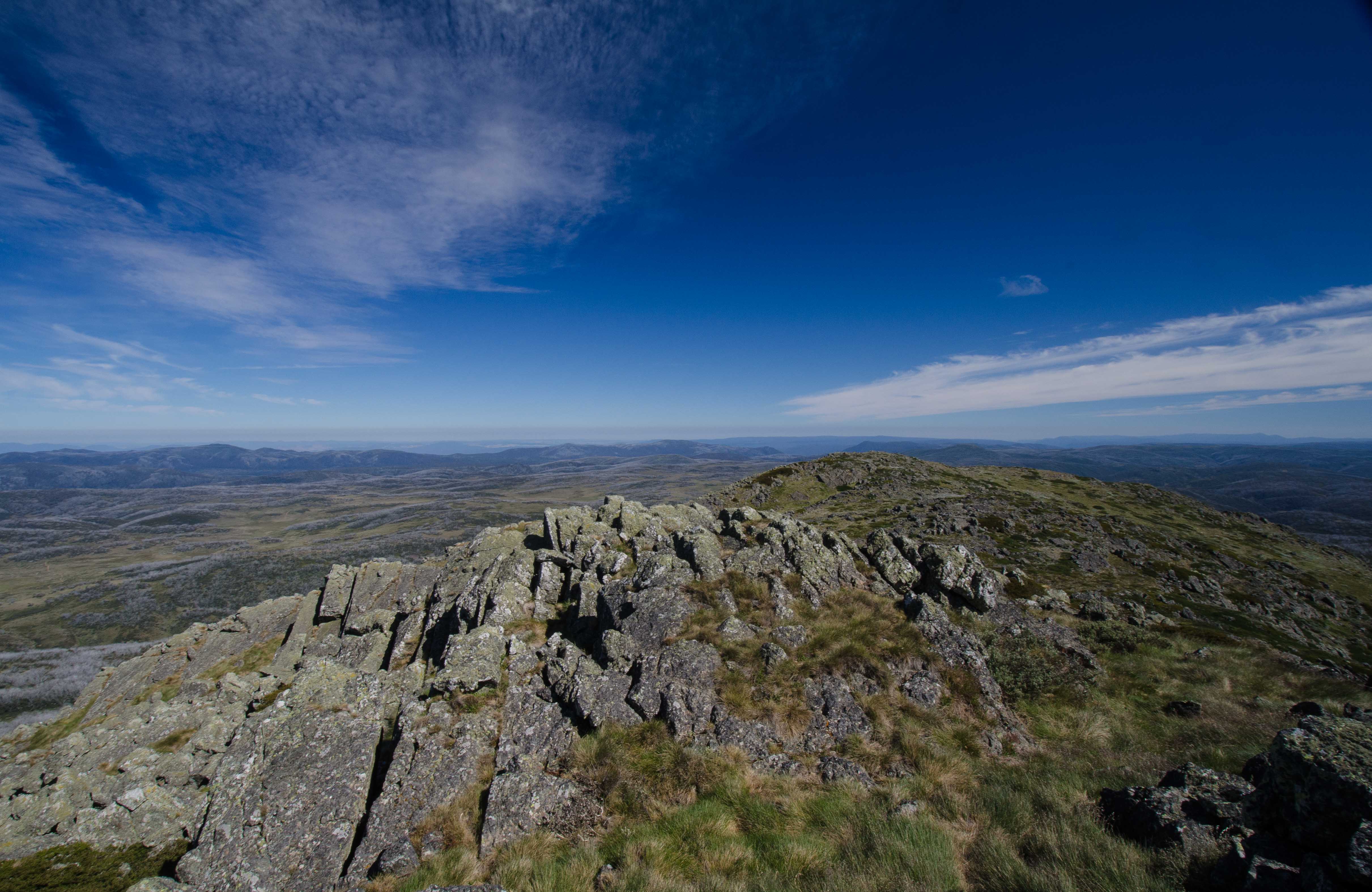
From here we could sit and look north – content in knowing that Mt Jugungal 22 km’s to the north had been well within our capabilities!
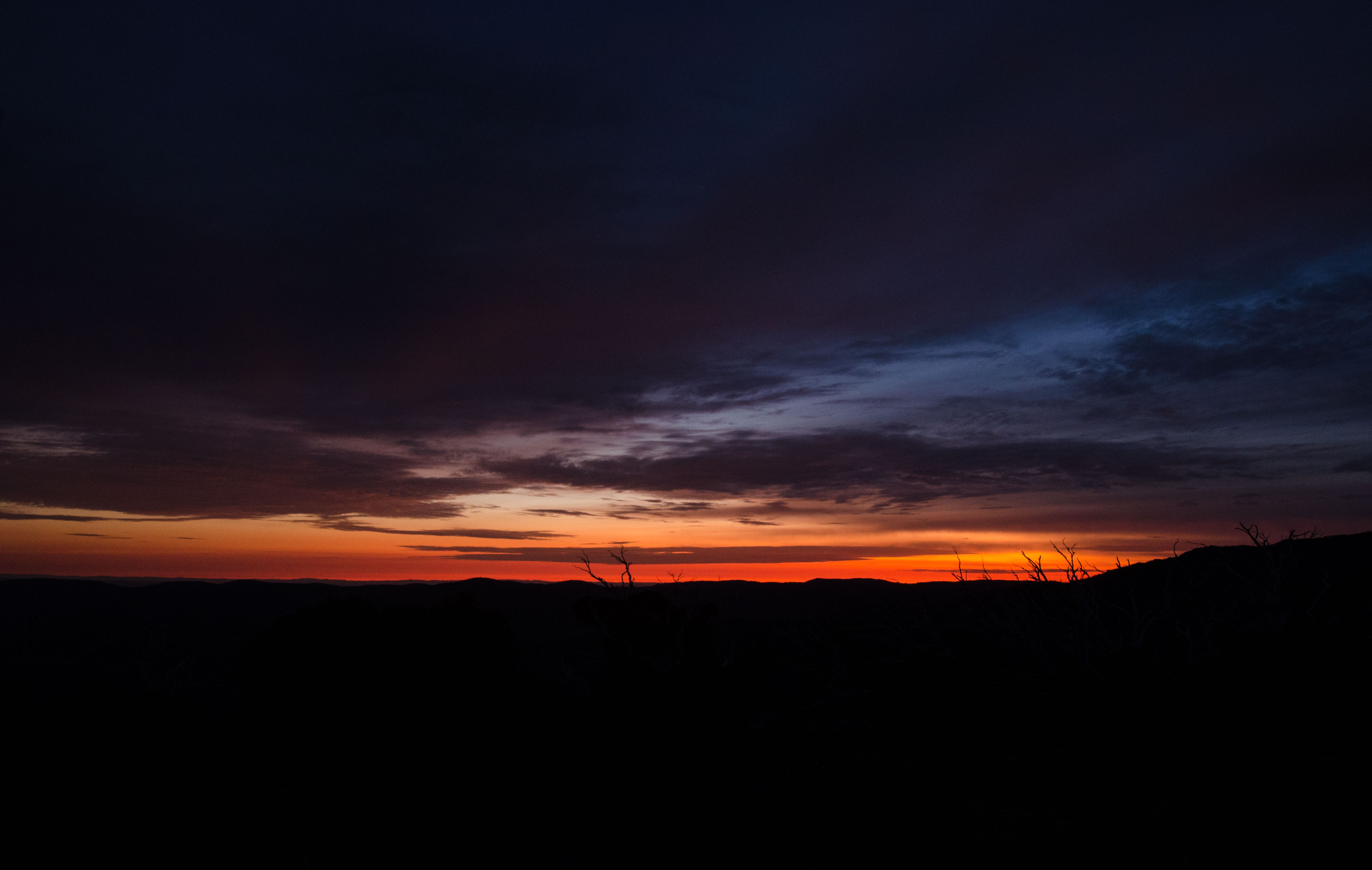
All that was left to do on this trip was to celebrate the end of 2015 and the beginning to a New Year. Both were down in fine style with an awesome sunset and an even more impressive sun rise the next morning before the last hour walk down to the cars at Guthega dam.
Thanks to Owen, Michelle, Sue, Srini and Sun for having me along for the trip!
Gavin
View the full gallery of photos from the Jugungal trip by clicking here.
