
Newspapers reported waves of “spectacular heights of 11 metres” when “the worst storm in a decade” struck the eastern beaches of Sydney in 2015. The impact on the city of Sydney was severe.
Image then the force and devastation that would result from waves 60 feet in height! That’s exactly the situation that occurred deep in the Southern Ocean back in July of the same year.
60 feet, that’s approx 20 metres – double those experienced in Sydney. What would be the result of that type of water force on an unprotected island?
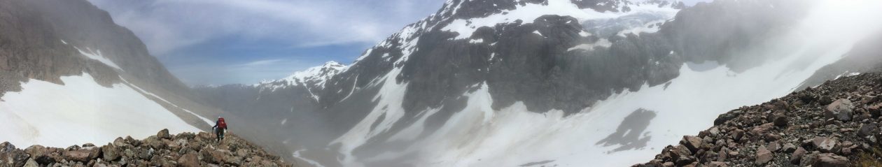
Back in March this year Fred and I got the opportunity to see for ourselves. We were landed at Sydney Cove the northern end of Heard Island by the crew from the Braveheart and for the next 3 days we lived at the most remote camp site in the world.
At some point the northern most point of Heard Island was itself an island – Red Island. Old maps record a clear separation between Heard and Red Islands. Our map that we carried with us (1972 topographical) showed a single land area with an inland lagoon.
And as we oriented our map to what we could see in front of us now it was clear another change had taken place.
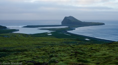
Fred’s theory (researched after we returned from Heard Island) is that the storms of 2015 struck with such force that the wave action and water flowing across the land, an area that’s at best 2-3 metres above sea level, created breaks in the sea wall on both the western and eastern sides of the lagoon.
It’s a compelling argument. I can only be thankful that I was not camped on Laurens Peninsula when the storm struck.

I’m glad you weren’t there too Gavin! What’s happening across the global landscape is very scary for people living in low-lying areas.
LikeLike